UNESCO: International year of Quantum Science and Technology 2025
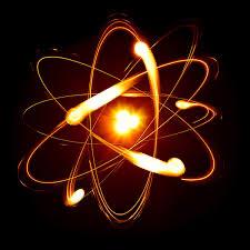
UNESCO has declared 2025 as the International Year of Quantum Science and Technology to commemorate a century since the foundational developments in quantum theory. Quantum science explores matter and energy at the most fundamental level, enabling incredibly complex computations that were once considered unachievable. These advancements have the potential to significantly accelerate research across multiple fields.
Unlike classical computing, which relies on bits, quantum computing uses qubits, allowing for faster and more precise processing of complex data. This capability is particularly valuable for analyzing water quality and quantity data gathered from sensors, satellites, and other sources — contributing directly to the achievement of Sustainable Development Goal 6, which focuses on ensuring access to clean water and sanitation for all.
In the realm of geosciences, quantum technologies have recently been applied to enhance hydrogeological research. For example, quantum machine learning methods — such as quantum support vector machines and quantum neural networks — have been used to predict water quality in Durban’s Umgeni catchment area. These models consider factors like chemical composition and microbial content, and have demonstrated higher accuracy, especially when using polynomial and radial basis function kernels, which are more adaptable to complex datasets than linear ones.
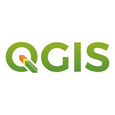
A widely used quantum-related tool in this context is QGIS (Quantum Geographic Information System). Known for its flexibility and customization, QGIS supports advanced spatial data analysis, making it a valuable asset in geoscientific research and environmental monitoring.
References:
Katta, A., Reddy, C.K.K., Sithole, T., Mohana, R.M. (2025). Transforming Water Quality Assessment: A Quantum AI Approach. In: Gunjan, V.K., Senatore, S., Kumar, A. (eds) Cybernetics, Human Cognition, and Machine Learning in Communicative Applications. Cognitive Science and Technology. Springer, Singapore. https://doi.org/10.1007/978-981-97-8533-9_11
Prosper K., Bernard N.B, Ebenezer E.Y, Vincent K.A, Abdul-G.S, Benjamin W.D (2022). Spatial assessment of groundwater potential using Quantum GIS and multi-criteria decision analysis
(QGIS-AHP) in the Sawla-Tuna-Kalba district of Ghana. https://doi.org/10.1016/j.ejrh.2022.101197
By: Priscilla E.S Lartsey.